CARDENS BLUFF CAMPGROUND, TENNESSEE Campground Reservation, Info, Images, Map, Directions

CARDENS BLUFF CAMPGROUND, Tennessee Campground Images, Info & Reservations

Directions

From Elizabethton, TN take US 19E/321 south 5 miles to Hampton. Turn left on 321/67 travel approx. 4 miles to the campground entrance on the left. 

Phone

423-735-1500

Activities

AUTO TOURING, BIKING, BOATING, FISHING, HIKING, SWIMMING, MOUNTAIN BIKING, KAYAKING, CANOEING, BIRDING, NON-MOTORIZED BOATING, SCENIC DRIVE

Keywords

Related Link(s)

Rec Area Info & Images

Overview

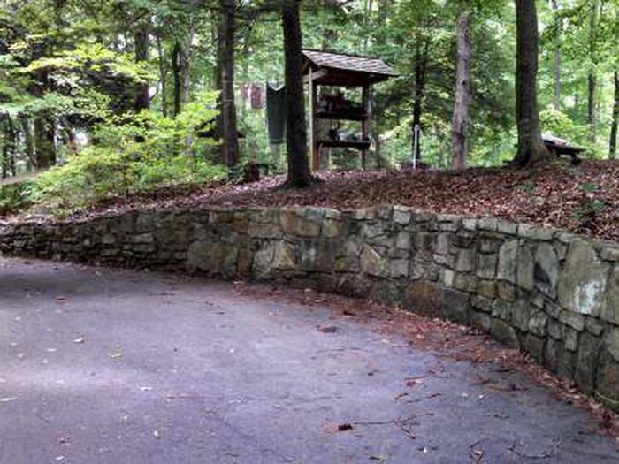
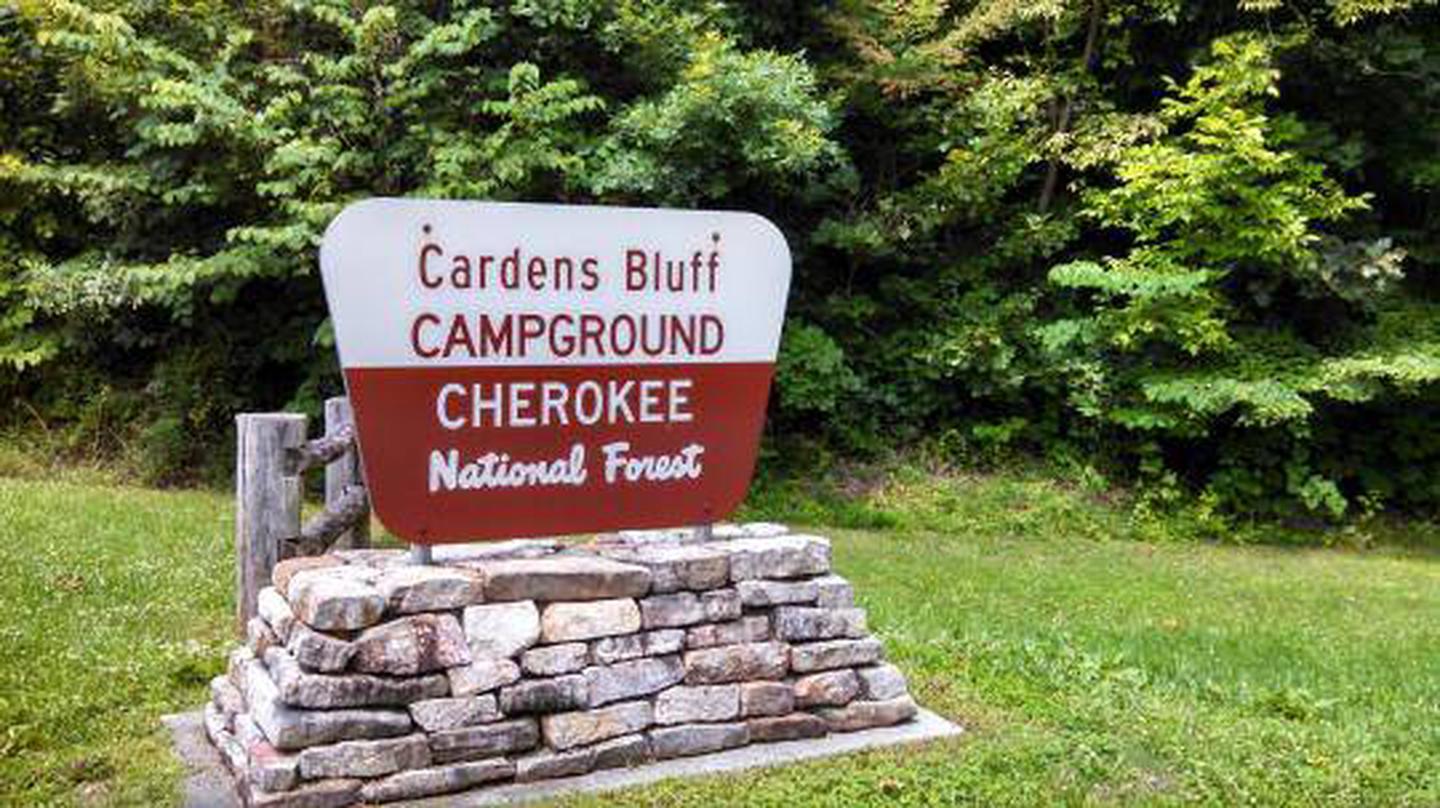
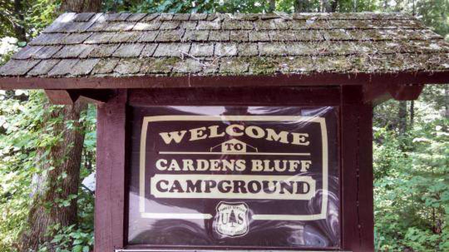
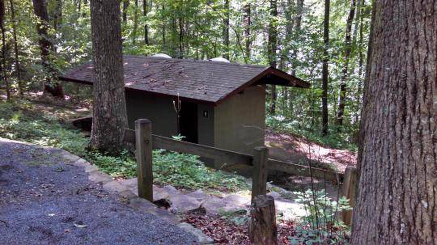
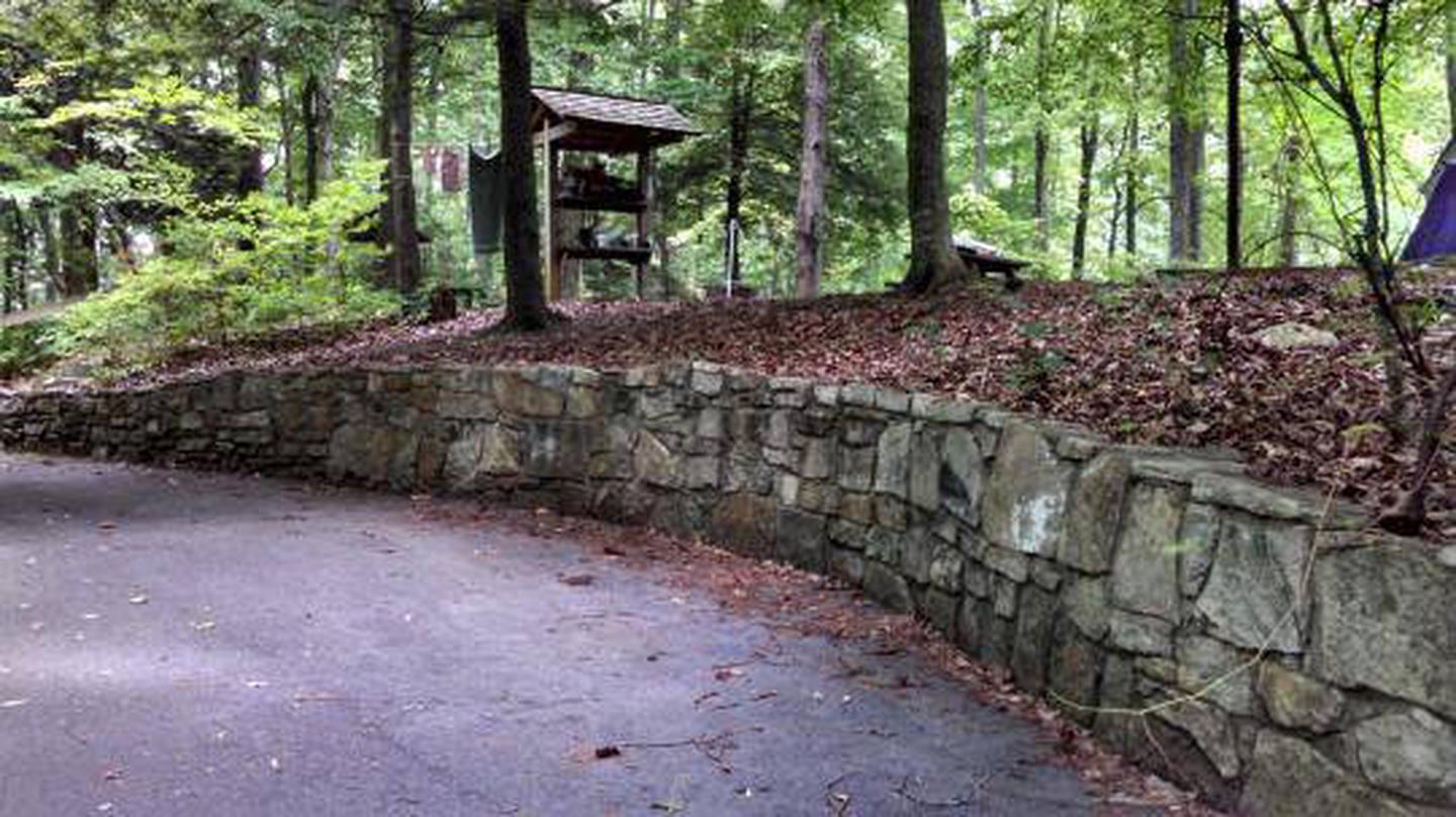
Cardens Bluff Campground will close for the season on Monday, October 14, 2019. At nearly 2,000 feet elevation, Cardens Bluff Campground is located on a peninsula overlooking the 6,430-acre Watauga Lake in Carter County, TN. There are 43 sites, primarily for tent camping. There is a bathhouse with showers and flush toilets. No electrical hookups are provided. Day use areas are located nearby for those wanting to take advantage of swimming, boating, and fishing opportunities. Campground Hosts are on site to answer questions and assist with your visit.  

Recreation

Boating is popular for visitors to Cardens Bluff. Numerous campsites provide easy water access for kayaks, canoes and motorized boats. Swimming and fishing are also very popular activities at Cardens Bluff. Watauga Lake provides notably clean water for recreating. 

Facilities

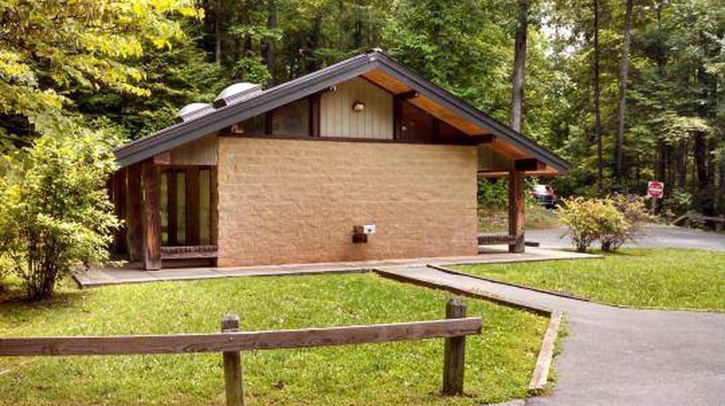
There are 43 campsites within Cardens Bluff Campground. Each section of the campground has flush toilets. In addition, there is an accessible shower house with eight showers for the campground. 

Natural Features

Watauga Lake is a 6,430-acre hydroelectric reservoir managed by the Tennessee Valley Authority and surrounded by the Cherokee National Forest. Directly across the lake from the campground is the Big Laurel Branch Wilderness area, a rugged, undeveloped mountain range with only the Appalachian National Scenic Trail within its boundaries.

Nearby Attractions

The nearby Rat Branch Boat Launch is an easy quick drive from the campground for campers with motor boats. Shook Branch Swim Area is also nearby on the shores of Watauga Lake. Big Laurel Branch and Pond Mountain Wilderness areas are located north and south of the campground for more rugged, backcountry hiking.

Reservation

More from CampingHiking.net:

NORTH SHORE (CA), California Campground Images, Info & Reservations

Directions From San Bernardino, take Highway 18 about 20 miles to the Lake Arrowhead exit. Take Highway 173 for 5 miles to the northeast side of the lake. Turn right on Hospital Road and follow it to the campground. Phone 909-866-8550 Activities BOATING, CAMPING, FISHING, HIKING, SWIMMING SITE Keywords SAN

COLES POINT, Virginia Campground Images, Info & Reservations

Directions From I-64 at Exit 16A or 16B in Covington, follow signs to U.S. Highway 220 and travel north about 5.5 miles. Turn left on State Road 687/Jackson River Road and travel about 3.2 miles. Turn left on State Road 641/Indian Draft Road, which soon becomes State Road 666. Travel

MONO CREEK, California Campground Images, Info & Reservations

Directions From Clovis, California, take Highway 168 north 70 miles to Huntington Lake Campground office at Eastwood. Take Kaiser Pass Road to Mono Creek Campground. Phone 559-893-2111 Activities BOATING, CAMPING, INTERPRETIVE PROGRAMS, FISHING, HIKING, HORSEBACK RIDING Keywords MONO,SIERRA NF – FS Related Link(s) Rec Area Info & Images California State

PEAKS OF OTTER CAMPGROUND, North Carolina Campground Images, Info & Reservations

Directions From Roanoke, Virginia, take the Blue Ridge Parkway north for 26 miles to Milepost 86. From Bedford, Virginia, follow Route 43 to Blue Ridge Parkway; the campground is on the left before reaching the Parkway. Phone 540-586-7321 (MAY – OCTOBER) Activities HISTORIC & CULTURAL SITE, CAMPING, INTERPRETIVE PROGRAMS, FISHING,

COTTONWOOD CREEK, California Campground Images, Info & Reservations

Directions From Truckee, travel north on Highway 80 to Highway 89 approximately 20 miles to the campground. From Sierraville, travel approximately 5 miles south on Hwy 89, the campground will be on the left side of the highway. Phone 530-994-3401 Activities BIKING, CAMPING, HIKING, HUNTING, WILDLIFE VIEWING Keywords COTC,TAHOE NF

INLET CAMPGROUND, Oregon Campground Images, Info & Reservations

Directions From Roseburg, OR, travel east on OR-138 /NE Diamond Lake Boulevard for approximately 72 miles, turn left onto Forest Road 2610 (Bird’s Point Road). Continue for 3 miles and turn right onto Forest Road 2614. Proceed 2.5 miles to the campground, located on the right side of the road.