
Directions
From Seattle trave east on I-90 approximately 62 miles, or from Cle Elum travel west on I-90 approximately 20 miles. Take exit 62 and follow Kachess Lake Road for 5.5 miles to the campground, which is on the right.
Phone
509-852-1100
Activities
BIKING, FISHING, HIKING, PICNICKING, MOTOR BOAT, KAYAKING, BIRDING
Keywords
KACH,OKANOGAN – WENATCHEE NF -FS
Related Link(s)
Washington State Road Conditions
Overview
Kachess Campground sits just off the forested northwest shore of Kachess Lake in Okanogan-Wenatchee National Forest.
Set in dense old-growth conifer forest and surrounded by high mountains, Kachess Campground is considered one of the most beautiful sites in the Cle Elum Ranger District.
Recreation
Kachess is a prime location for fishing, swimming, boating, paddling and mountain biking in summer and early fall.
The campground is also a great base camp for day-hikers and overnight backpackers. Several access trails from the area give hikers the chance to create their own excursions, whether it be a day hike or an overnight trip.
Starting at the campground, the Kachess Lake Trail is a short loop next to the lake, enjoyable for hikers of all levels.
Anglers enjoy fishing for rainbow trout, cutthroat trout and kokanee salmon from boat or shoreline. Box Canyon Creek is closed to all fishing from the mouth, 2-miles up to the falls. Check current WDFW fishing regulations for additional restrictions.
Facilities
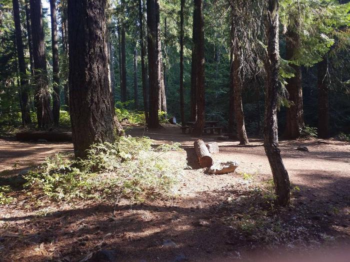
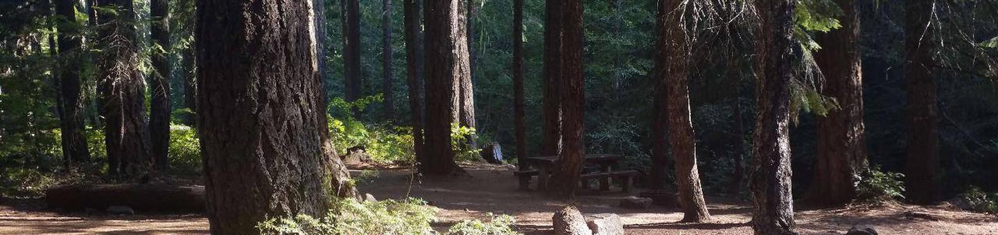
Kachess Lake Campground offers 150 sites that accommodate both tent and RV camping, including one designated group site that can accommodate up to 50 guests. The group site and 106 single family sites are available for reservation, and the rest are available on a first-come first-serve basis. Sites are equipped with picnic tables, campfire rings with grills, vault toilets. Drinking water is available. There are no electric hookups. One motorized boat launch, one non-motorized boat launch, a swimming area and picnic areas are also available to visitors.
Natural Features
Towering peaks, high-country lakes and old-growth forests provide visitors with a variety of landscapes. Kachess Lake, adjacent to the campground, is a reservoir that stores and provides water for irrigation for south-central Washington. The surrounding undeveloped wilderness, clean streams and diverse forests support an abundance of wildlife, including deer, porcupine, native fish and migratory birds.
Nearby Attractions
The spectacular Pacific Crest Trail (PCT) can be accessed near the campground. One of the world’s premier National Scenic Trails, it showcases some of North America’s most fantastic scenery as it winds its way from Mexico to Canada through California, Oregon and Washington.