Directions
From I-90 at Post Falls, turn north onto Highway 41 to Newport. Turn right on Highway 2/200 east to Priest River. Turn north (left) on Highway 57 to Nordman 37 miles, then turn right at Y junction and drive 3 miles to Reeder Bay.
Phone
435-245-6521
Activities
BIKING, BOATING, CAMPING, FISHING, HIKING, CANOEING
Keywords
REBA,IDAHO PANHANDLE NF – FS
Related Link(s)
Overview
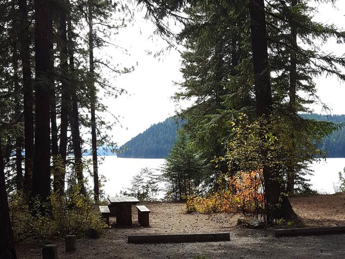
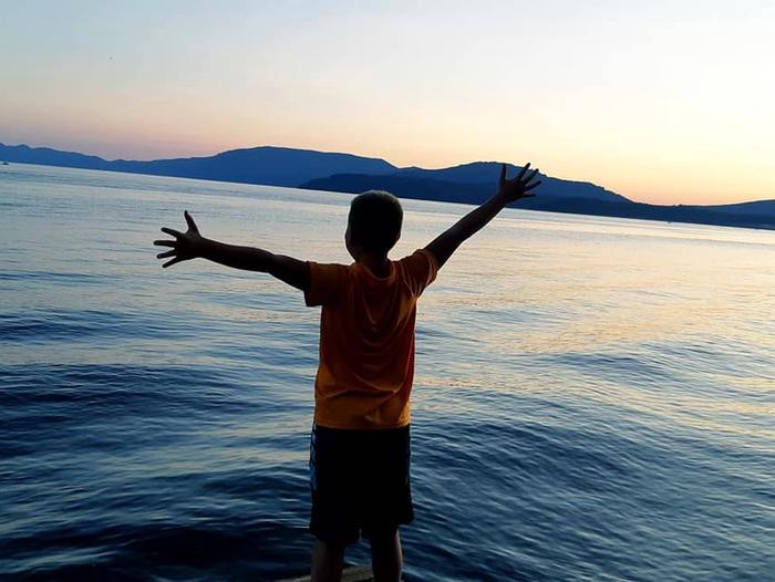
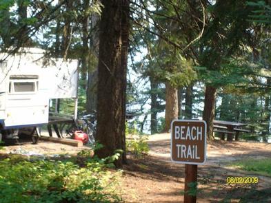
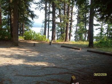
Reeder Bay Campground is a picturesque hideaway for nature immersion and relaxing water sports on Priest Lake. Campsites are shaded by a dense forest of cedar, fir and hemlock. Campers visit Reeder for its incredible beach that slopes down into the refreshing, clear lake.
Recreation
Wake boarding, jet skiing, bird watching and canoeing are among the many activities campers enjoy.
Hike the 8-mile Lakeshore Trail which passes through alder, pine, young cedar and open hillsides of brush, providing memorable scenic views throughout the journey.
Anglers seek Dolly Varden and cutthroat trout, as well as kokanee salmon, on the lake and nearby Priest River.
Facilities
Reeder Bay boasts accessible facilities and paved roads and parking spurs. Amenities include a pressurized water system with hydrants, flush toilets and overflow gravel parking areas.
Natural Features
The campground is situated on the eastern shore of Priest Lake, nestled deep below the crest of the Selkirk Mountains. The lake spans 19 miles in length and reaches a depth of 300 feet. Priest Lake is noteworthy for its incredibly clear waters, fed by streams cascading from the high Selkirk peaks.
A variety of wildlife inhabits the surrounding area, including deer, elk, moose, grizzly and black bears, wolves and mountain lions.
Nearby Attractions
Explore the extensive trail system around the lake. The Upper Priest Lake Trail takes hikers and mountain bikers to the Upper Priest Lake Scenic Area, which can also be accessed by boat.


