BUCKBOARD, UT Campground Reservation, Info, Images, Map, Directions

BUCKBOARD, Utah Campground Images, Info & Reservations

Directions

Located in Southeast Utah, six miles west of Monticello on paved Forest Road 105.

Phone

435-587-2041

Activities

AUTO TOURING, BIKING, CAMPING, FISHING, HIKING, HUNTING, PICNICKING, WILDLIFE VIEWING, PHOTOGRAPHY, MOUNTAIN BIKING, STAR GAZING, SCENIC DRIVE, OFF HIGHWAY VEHICLE TRAILS

Keywords

BUCB,BUCKBOARD,BLUE MTN. CAMPGROUND,MANTI-LASAL NF -FS

Related Link(s)

Rec Area Info & Images

Utah State Road Conditions

Utah State Tourism

Overview

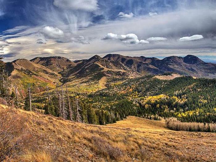
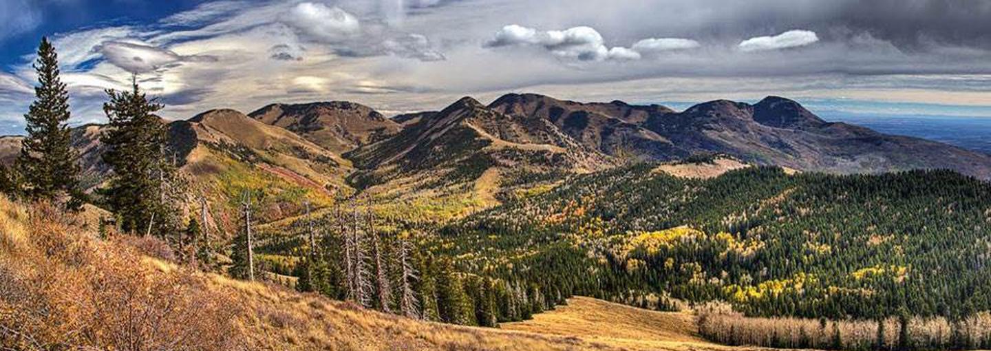
Buckboard Campground sits in the Manti-LaSal National Forest in southeast Utah at the foot of the Abajo Mountains. Visitors enjoy fishing and exploring local trails.

Recreation

Popular activities include fishing, hiking and off-road vehicle riding. Several trailheads are nearby, including Robertson’s Pasture Trail and Spring Creek Trail. The Abajo Loop State Scenic Backway passes by the campground. It leads from the desert floor and red rock canyons to steep mountains over 10,000 feet high, with overlooks and panoramic views. The byway is suitable for passenger vehicles from late spring through fall but is not recommended for large RVs.

Facilities

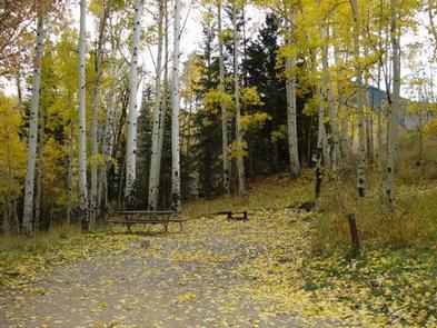
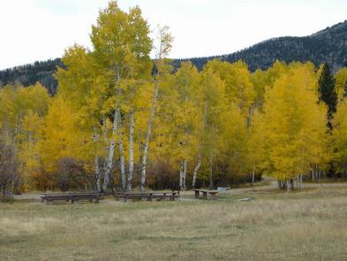
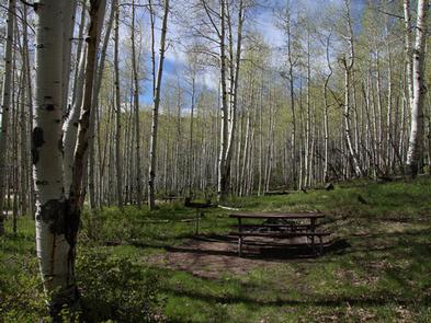
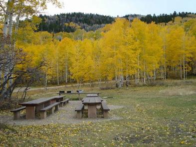
The campground offers several single-family sites, as well as two group sites than can each accommodate up to 50 guests. Firewood may be collected in and around the campground. Forest Road 105 to the campground is paved, while parking spurs and the road within the campground are graveled. There are two vault toilets and the campground has water available (seasonally.) There is a 14 day stay limit at this campground.

Natural Features

Aspens and Gambel oaks surround the site, offering partial shade. The campground sits at an elevation of 8,900 feet, and summer temperatures range from 75-85 degrees during the day and 50-60 degrees at night. Mule deer, wild turkeys and black bears frequent the area.

Nearby Attractions

Other attractions in the area include Canyonlands, Arches and Mesa Verde National Parks, Natural Bridges National Monument, Dark Canyon Wilderness, Edge of the Cedars State Park, Lake Powell and numerous archaeological sites.

Reservation

More from CampingHiking.net:

BLACK CANYON, New Mexico Campground Images, Info & Reservations

Directions From downtown Santa Fe, New Mexico, travel north on Washington Avenue to Artist Road (Hyde Park Road/State Route 475) and turn right. Continue for 7 miles to Black Canyon. Phone 505-753-7331 Activities BIKING, CAMPING, HIKING Keywords BOYD,SANTA FE NF – FS Related Link(s) Rec Area Info & Images New

AUSABLE RIVER CAMPING, Michigan Campground Images, Info & Reservations

Directions Designated campsites are spread along 55 miles of river shoreline between the AuSable River Access at 4001 Bridge (7 miles northwest of Glennie, MI) to near the Whirlpool AuSable River Access (4 miles west of Oscoda, MI). For more information on specific campsites, click here. Phone 989-362-8961 Activities BOATING,

UMPQUA SAND CAMPING, Oregon Campground Images, Info & Reservations

Directions From Reedsport Oregon, travel 2 miles south on Highway 101 to Winchester Bay. Turn right on Salmon Harbor Drive. Proceed 4 miles to the Oregon Dunes National Recreation Area. Access the sand either at boundary, 2nd Beach Parking Sand Access, or 3rd Beach Parking Sand Access. Phone 541-271-6000 Activities

MURRELL PARK, Texas Campground Images, Info & Reservations

Directions Grapevine Lake is located in the Dallas-Fort Worth Metroplex, south of Denton, Texas. The north side of the lake is almost entirely within the town boundaries of Flower Mound, Texas in Denton county. The south side of the lake is located in Grapevine, Trophy Club and Southlake, Texas in

STONEY GROUP SHASTA-TRINITY, California Campground Images, Info & Reservations

Directions From I-5 in Redding, California, take 299 west to Weaverville. Go north on State Highway 3 for 14 miles. The campground is on the left. Phone 530-275-8113 Activities BOATING, CAMPING, FISHING, WATER SPORTS, SWIMMING SITE Keywords STON,STONEY GROUP SHASTA TRINITY,SHASTA-TRINITY -FS Related Link(s) Rec Area Info & Images California