
Directions
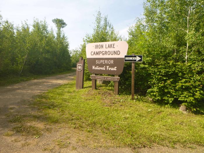
From Grand Marais, Minnesota, take Gunflint Trail (County Road 12) 36 miles north, turn left on County Road 92 and travel 2 miles on a narrow gravel road to Iron Lake Campground.
Phone
(218)388-2212
Activities
BOATING, CAMPING, FISHING, CANOEING
Keywords
IROL,SUPERIOR NATIONAL FOREST,SUPERIOR NF – FS
Related Link(s)
Minnesota State Road Conditions
Overview
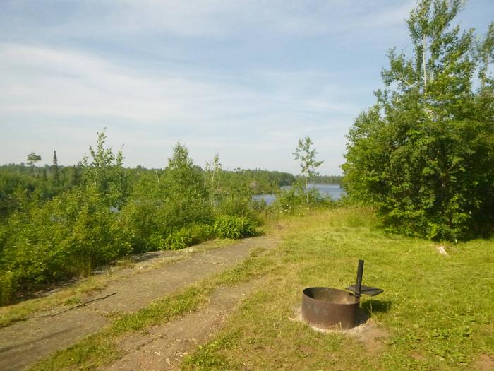
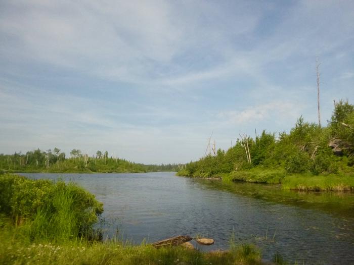
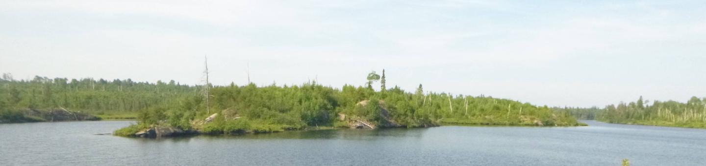
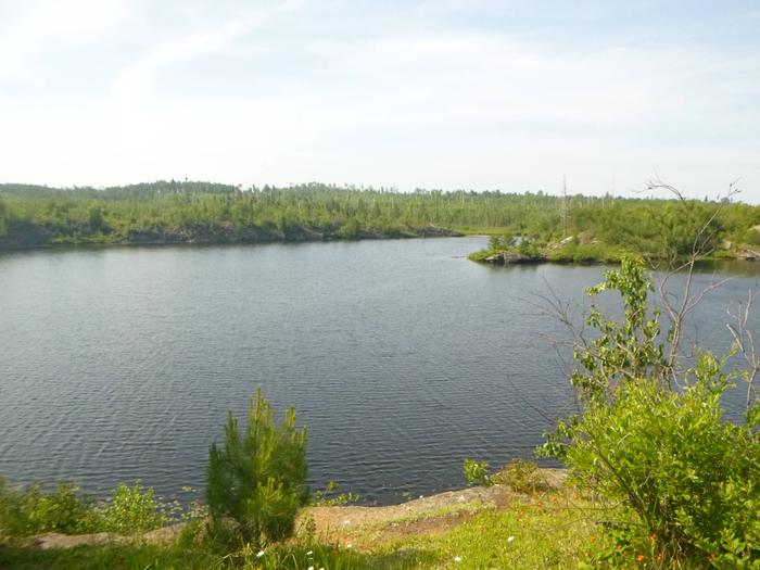
Iron Lake Campground is located in a dense forest along the banks of Iron Lake in far northern Minnesota. The campground is unique due to its remoteness and small size. Fishing and canoeing are its biggest draws, as the lake provides access to the Boundary Waters Canoe Area Wilderness.
The Ham Lake Fire passed through the campground in 2007. Visitors may be surprised at how the burned area is greening up. Soils and seedling trees are delicate. Some dead trees, which were left standing to provide habitat, may be hazardous. Use caution and stay out of closed areas.
Recreation
Iron Lake provides many boating opportunities. The campground offers plenty of canoeing and fishing opportunities. Walleye and northern pike fishing are usually good. Canoes, kayaks and small boats must be carried down to access the lake.
When portaging or paddling out of this lake and into another, visitors should find out if they will be entering the Boundary Waters Canoe Area Wilderness. Entry requires a permit (self-issued for day use) and visitors must follow wilderness regulations including group size.
**View recreation guides and maps of hiking trails and canoe routes in the national forest.
View recreation guides and maps of hiking trails and canoe routes in the national forest.
Facilities
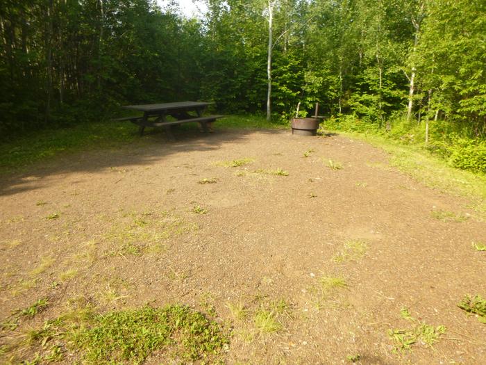
This campground is small and simple. Sites are organized into one loop near the water. There are no electric hookups. Site 6 is a first-come, first-served site.
Vault toilets, drinking water and trash bins are provided. Conveniences are available at area lodges and resorts. A campground host from another facility visits here every other day, and the facility is routinely patrolled by the County Sheriff and the concessionaire.
Natural Features
Iron Lake is in a burn area, and visitors can see post-fire ecology including uncommon black-backed woodpeckers. Moose, bear, loons and other wildlife live in the area. Blueberries grow abundantly in the area and can be picked in mid to late summer.
Nearby Attractions
The BWCAW is by far the most popular nearby attraction. Over 1 million acres in size, the Boundary Waters extend nearly 150 miles along the United States-Canada border and contains over 1,200 miles of canoe routes, 12 hiking trails and over 2,000 designated campsites.
Boundary Waters Canoe Area Wilderness