AVONDALE, TN Campground Reservation, Info, Images, Map, Directions

AVONDALE, Tennessee Campground Images, Info & Reservations

Directions

From Nashville, TN, take I-65 N to TN-386/Vietnam Veterans Blvd. Take exit 9 from TN-386/Vietnam Veterans Blvd, turn right onto Shute Lane. Continue straight onto Avondale Access Road. Follow signs into recreation area.

Phone

(615) 822-4846

Activities

BOATING, CAMPING, FISHING, KAYAKING, CANOEING, WATER ACCESS

Keywords

AVON,OLD HICKORY LAKE,OLD HICKORY LAKE

Related Link(s)

Rec Area Info & Images

Tennessee State Tourism

Tennessee State Road Conditions

Overview

Avondale is a wonderful destination for people looking to launch a boat or have a picnic. Here, visitors can bring their family and friends for water sports and plenty of sunshine. The picnic area is on the shores of Old Hickory Lake, just a short drive from Nashville, Tennessee. The lake is named after Andrew Jackson, the 7th U.S. President and Tennessee native with the nickname “Old Hickory.”

Recreation

Avondale is an ideal launching point for boat fishing. Bank fishing is also popular, with black bass, crappie and paddlefish in the area. Water skiing, sailing, wakeboarding, and swimming are also big attractions at Old Hickory Lake.

Facilities

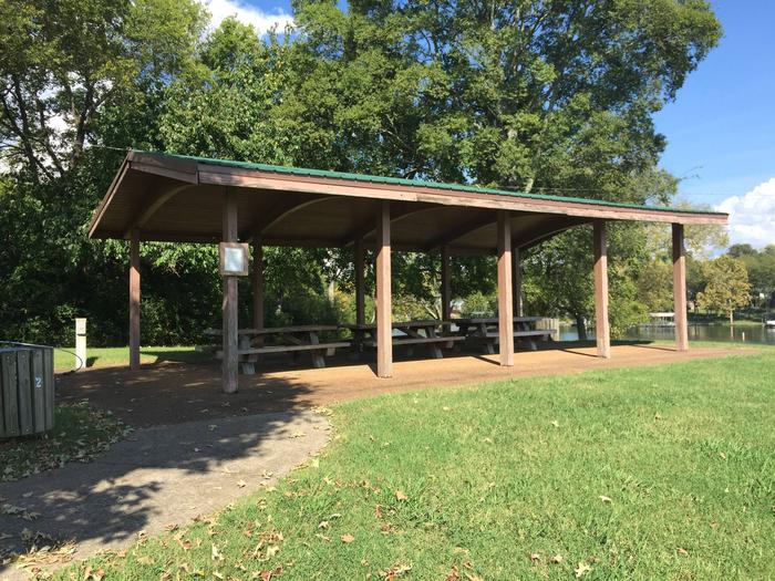
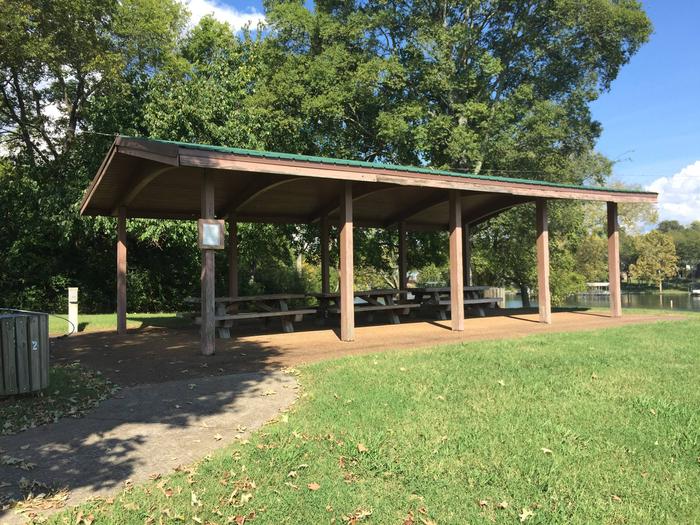
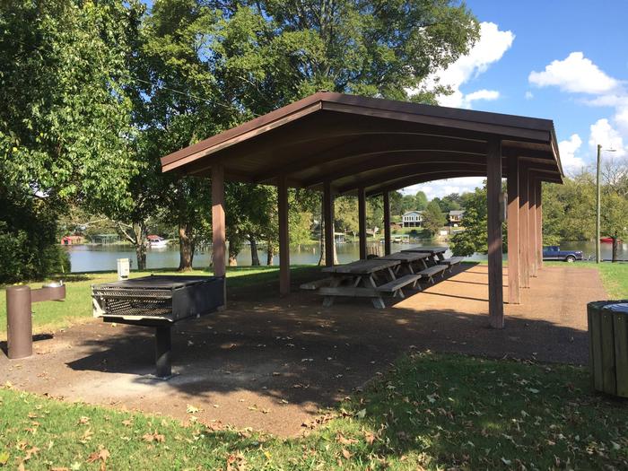
The group picnic shelter accommodates up to 50 people and approximately 30 vehicles. Flush toilets and a boat ramp are available for use.

Natural Features

Old Hickory Lake is a reservoir in north-central Tennessee created by the Old Hickory Lock and Dam. The lake receives its primary inflow from the Cumberland River and spans 22,500 acres surrounded by wooded areas and grassy flatlands.

Nearby Attractions

Lock 4 Park is just a short drive away and offers several mountain biking trails as well as a fishing dock for bank fisherman. The town of Hendersonville is very close and offers various historic districts to explore and great food.

Reservation

More from CampingHiking.net:

OLD HWY 41 NO 3, Georgia Campground Images, Info & Reservations

Directions From I-75 take exit 278 and turn south onto Glade Road. Turn right onto Highway 92/Lake Acworth Drive, then after a mile exit to the right which will loop around to Hwy 293/Main Street. At stop sign turn left onto Highway 293/Main Street and follow signs to the campground.

SANTA CRUZ DEL NORTE BACKCOUNTRY, California Campground Images, Info & Reservations

Directions Boat transportation can be arranged with Island Packers from Ventura Harbor. To park headquarters in Ventura, California: Highway 101, exit Victoria or Seaward to Ventura Harbor. Phone 805-658-5730 Activities CAMPING, HIKING, WILDLIFE VIEWING, WILDERNESS, PHOTOGRAPHY, BIRDING, BACKPACKING Keywords CG09,SANTA CRUZ DEL NORTE,DEL NORTE,CHANNEL ISLANDS,SANTA CRUZ,Channel Islands National Park,Channel Island

JOES VALLEY RESERVOIR, Utah Campground Images, Info & Reservations

Directions From Price, Utah, travel 45 miles south on State Road 10, to the junction of State Roads 10 and 29. Turn west on State Road 29 and continue through Orangeville, approximately 12 miles. Turn north at the stop sign and follow State Road 29 approximately 18 miles to the

BUMBLEBEE CAMPGROUND, Idaho Campground Images, Info & Reservations

Directions Take the Kingston Exit off Interstate 90 and take Forest Road 9 North for 5.4 miles. Turn left onto Bumblebee cutoff and head 3 miles to the campground sign at the junction with Forest Road 796. Turn right onto Forest Road 796 and go 0.1 miles to the campground.