
Directions
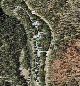
From Jemez Springs, New Mexico, travel 9 miles north on New Mexico State Road 4 and along the Jemez Mountain Trail National Scenic Byway, then take New Mexico State Road 126 for 2 miles to campground.
Phone
575-829-3535
Activities
CAMPING, FISHING, HIKING, WILDLIFE VIEWING
Keywords
None
Related Link(s)
New Mexico State Road Conditions
Overview
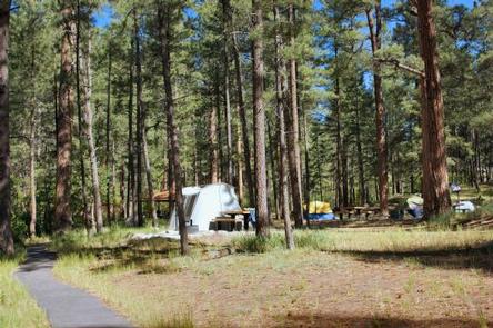
San Antonio Campground is adjacent to the San Antonio River, tucked into a forest of ponderosa pine at 7,600 feet above sea level. This popular campground is open from May through October in the Santa Fe National Forest. Visitors should be prepared for hot summer days and cool nights.
San Antonio Campground was completely rebuilt and reopened in August 2010. It is designated as a reduced impact and recycle campground.
Recreation
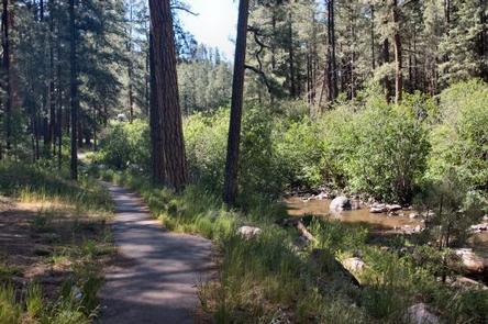
A paved walking trail along the river provides access for fishing. Anglers can fish for rainbow trout. Visitors enjoy wading in the river on hot summer days.
The campground offers easy driving access to several recreational sites nearby, including the popular La Cueva Picnic Site, Spence Hot Spring Trailhead, Battleship Rock Trailhead and a couple of fishing sites along the San Antonio River.
Facilities
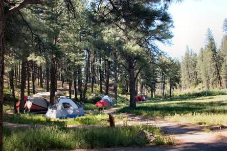
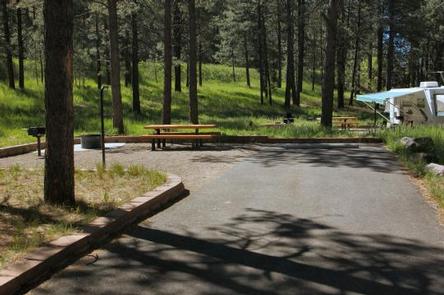
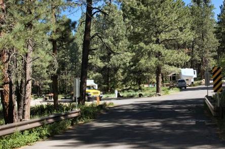
The campground has 20 standard sites that can accommodate tents, trailers and RVs. A group area on the north end of the campground includes a pavilion that can accommodate up to 100 people.
The group area includes nine tent sites. Accessible sites are located on the south end of the campground.
Sites are equipped with picnic tables and pedestal grills, and sites 1-6 have water and electric hookups. Site 3 can accommodate two RVs.
Drinking water and vault toilets are provided. Parking areas, spurs and roads within the campground are paved. A camp host is available during the peak season. Visitors are encouraged to pack out trash, but recycling bins are provided.
Natural Features
Some of the finest mountain scenery in the Southwest is found in the 1.6 million acres within the Santa Fe National Forest. Elevations range from 5,300 to 13,103 feet at the summit of Truchas Peak, located within the Pecos Wilderness.
The diverse ecosystems of the Santa Fe National Forest are home to a variety of wildlife species. The ponderosa pine forests at 6,000-9,500 feet provide habitat for the Jemez Mountain salamander, northern goshawk, Merriam’s turkey, Abert’s squirrel and hairy woodpecker.
Nearby Attractions
The 163-mile Jemez Mountain Trail Scenic Byway passes amazing geological formations, ancient Indian ruins and an Indian pueblo. The area is rich in logging, mining and ranching heritage.