
Directions
From Deer River, Minnesota, take Highway 2 west for one mile. Turn right on Highway 46 and go 12 miles. Turn left on Itasca County 9 and continue 2 miles, then turn left at signs and follow to the campground.
Phone
218-326-6128
Activities
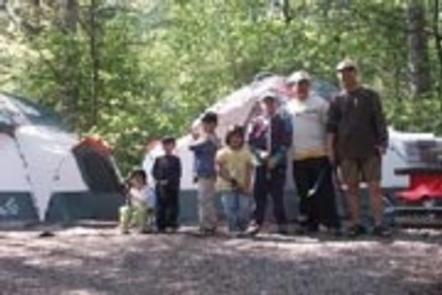
CAMPING
Keywords
LAKW,WINNI DAM CAMPGROUND,WINNI CAMPGROUND,MISSISSIPPI HEADWATER
Related Link(s)
Minnesota State Road Conditions
Overview
Winnie Dam Campground is situated in the heart of northern Minnesota’s lake country on scenic Winnibigoshish Lake in the Chippewa National Forest.
Recreation
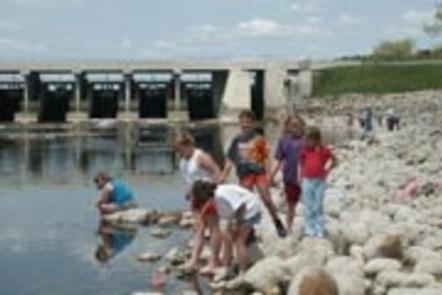
Lake Winnie offers excellent fishing opportunities for walleye, perch and musky. It is one of Minnesota’s premier fisheries. Boating on this 67,000-acre lake is also very popular.
Many hiking and biking trails meander around the lake and its 141 miles of shoreline. Hunting areas can be found in the surrounding forest.
Facilities
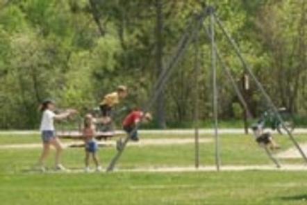
The campground, pronounced “win-uh-big-osh-ish,” offers 22 sites with electric hookups. Amenities include showers, flush toilets, pit toilets, drinking water, a dump station, boat ramp, picnic shelter and playground.
Natural Features
A forest of mixed hardwoods and towering red pines covers the area, housing an abundance of wildlife including nesting bald eagles, porcupines, black bears, chipmunks and many others.
Wild blackberries, raspberries, and blueberries grow seasonally on the forest floor.