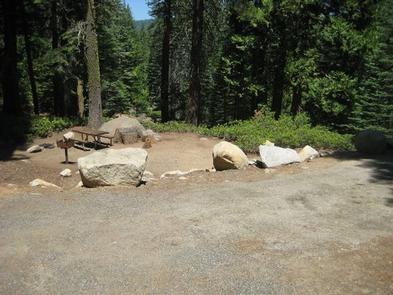
SOUTH SHORE CAMPGROUND, CA Campground Reservation, Info, Images, Map, Directions

SOUTH SHORE CAMPGROUND, California Campground Images, Info & Reservations

Directions

From Pioneer, CA, take State Route 88 east 21.9 miles to Bear River Lake Resort sign. Turn left at the sign and go 3.4 miles to campground on right side of the road.

Phone

209-295-4360

Activities

BIKING, BOATING, CAMPING, FISHING, SWIMMING SITE

Keywords

SOSH,BEAR RIVER RESERVOIR SO.SHORE,ELDORADO NF – FS

Related Link(s)

Rec Area Info & Images

California State Tourism

Forest Service Concessionaire

California State Road Conditions

Overview

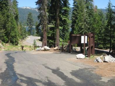
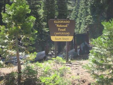
South Shore Campground is located next to Lower Bear River Reservoir in the Eldorado National Forest the central Sierra Nevada Mountains. It’s a prime location for fishing and boating.

Recreation

Lower Bear Reservoir covers 166 acres and has 2.5 miles of shoreline. Activities include fishing, swimming, boating, canoeing and picnicking. Anglers may catch rainbow, brown and mackinaw trout. A boat ramp is located within a mile of the campground.

The Pardoe Trail can be accessed a short distance past nearby Upper Bear River Reservoir, and borders Mokelumne Wilderness.

Facilities

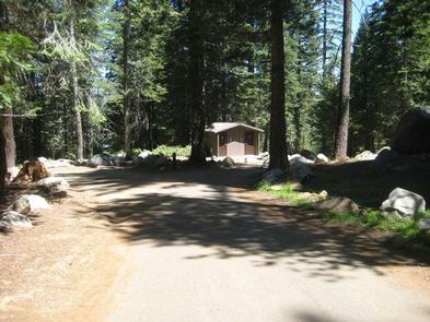
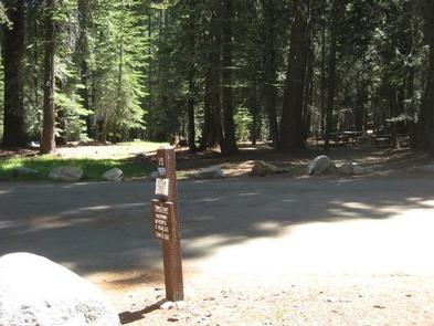
Each campsite comes with a picnic table and grill. One campsite is accessible, as is one of the vault toilets. Drinking water is provided.

A general store is about a mile from the campground on the northern part of the reservoir.

Natural Features

The campground is nestled in a mixed conifer forest on a hillside just above the south shore of Lower Bear River Reservoir at an elevation of 5,900 feet. Some campsites offer partial views of the lake through the trees.

A Mediterranean climate extends over most of the forest, with warm, dry summers and cold, wet winters.

Reservation

More from CampingHiking.net:

DOGWOOD DAY USE, Utah Campground Images, Info & Reservations

Directions Take exit 301 off I-15. Turn east and travel 6 miles on 7200 South to the mouth of Big Cottonwood Canyon. Travel 2 miles up Big Cottonwood Canyon to picnic area. Phone SALT LAKE RANGER DISTRICT OFFICE 801-733-2660 OR UTAH RECREATION COMPANY 385-273-1100 Activities BIKING, CLIMBING, CAMPING, FISHING, HIKING,

CABIN CREEK CABIN, Montana Campground Images, Info & Reservations

Directions Summer access from West Yellowstone: Take U.S. Highway 287 to Forest Service Road 681, Red Canyon Rd, then to the Red Canyon Trailhead. Foloow Trail #205 approximatley 5 miles to Cabin Creek Trail, then 1 mile via hike, horse, mountain bike, or motorcylce to the cabin. Note: ATVs must

Agua Piedra Campground, New Mexico Campground Images, Info & Reservations

Directions From Las Vegas, New Mexico, take State Highway 518 approximately 51 miles to the Agua Piera Campground. From Penasco, New Mexico, travel east on State Route 75 about 5 miles, to an intersection. Turn right, onto State Route 518 (unmarked) and continue about 7 miles to campground entrance. From

FORKLAND, Alabama Campground Images, Info & Reservations

Directions From Demopolis, Alabama, go nine miles north on U.S. Highway 43, then turn left on County Road. Continue about a mile to the campground entrance. Phone 334-289-5530 Activities BOATING, CAMPING, FISHING, HIKING Keywords FORK,DEMOPOLIS LAKE,MC CONNICO,BLACK WARRIOR Related Link(s) Rec Area Info & Images Alabama State Tourism Alabama State

BIG LAKE, Oregon Campground Images, Info & Reservations

Directions From Eugene, Oregon, take I-105 east to McKenzie Highway 126. Travel east on 126 for 90 miles to Santiam Pass. At the top of the Pass, turn right onto the access road (sign says Hoodoo Ski Area, Big Lake Road, & Benson Sno-Park). Travel one mile to the fork