

Directions
Directions to North Hartland Lake From East and West:
Take I-89 to White River Junction, and take I-91N.
From the North: (White River Junction)
Take exit 11 off of route I-91, and turn onto Rt. 5 South.
You will soon pass the VA hospital and Super 8 Motel.
Continue on Rt. 5 South for about another 4 miles.
Turn Right onto Clay Hill Rd. at the volunteer fire station.
(If you reach the highway under pass you have gone too far)
Follow Clay Hill Rd. about 1 mile. North Hartland Lake will be on the right. (Look for the yellow gates)
The Picnic Shelters will be on the left. (Look for the sign that says North Hartland Beach)
From the South: (Brattleboro, Massachusetts, etc.)
Take exit 9 off of I-91 North.
Take a left at the top of the ramp onto Rt. 5 North.
Bear right at the intersection in Hartland to continue on Rt. 5 North.
Continue following Rt. 5 North for about 5 miles.
Turn left onto Clay Hill Rd.
(After the Village of North Hartland and 2nd I-91 underpass)
Follow Clay Hill Rd. about 1 Mile. North Hartland Lake will be on the right. (Look for the yellow gates)
The Picnic Shelters will be on the left. (Look for the sign that says North Hartland Beach) North Hartland Lake
112 Clay Hill Rd.
North Hartland, VT 05052
Office: (802) 295-2855
Phone
802-295-2855
Activities
CAMPING, SWIMMING SITE
Keywords
North Hartland Dam,Hartland Dam,North Hartland Beach,North Hartland Lake,Hartland Beach,NHL
Related Link(s)
Overview
North Hartland Lake is a US Army Corps of Engineers day use facility located on the Ottauquechee River in North Hartland, VT. Close to the towns of Lebanon, New Hampshire, and Hartford, Vermont, North Hartland Lake is a popular destination for outdoor recreation in the Upper Valley.
Recreation
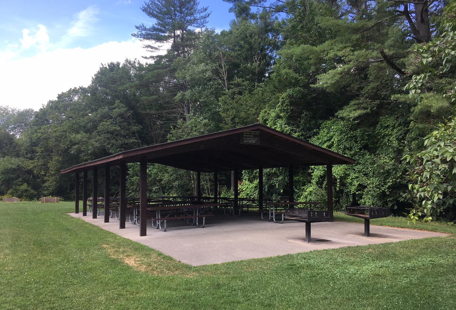
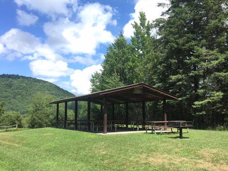
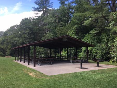
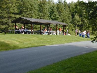
Swimming, fishing, paddling, and boating are all popular activities at North Hartland Lake. A playground, horseshoe pits, volleyball nets, picnic tables and grills are available for all to enjoy. Family gatherings and events are also popular at any of the three picnic pavilions.
Facilities
The three picnic pavilions at North Hartland Lake can accommodate from 65 to 100 people each. Flush toilets are located close to the three pavilions, while portable toilets are provided at the beach area. A concrete boat launch is available for trailered boats as well as canoes and kayaks. Picnic tables and grills are dispersed throughout the park.
Natural Features
The North Hartland Lake Day Use Area provides a sandy swimming beach and boat access to the Ottauquechee River. Shaded areas and open lawns provide a variety of picnic opportunities.
Nearby Attractions
Quechee State Park provides opportunities for tent and RV camping as well as hiking. The Quechee Gorge is also a great area for sightseeing and exploring.