
Directions
From 1-75 Northbound, take exit 141 for Oneida/Huntsville and turn left. Follow Highway 63 to the intersection of US-27 in Huntsville. Turn right and continue north on US-27 through Oneida for 18 miles. Turn onto KY-92 West and travel approximately 1.3 miles. Bear left onto Highway 1651. Travel about .5 miles then turn right onto KY-741. This road is narrow, and if you have a big rig it is suggested that you continue on 1651 for another three-quarter miles and turn a sharp right onto KY-742. From KY-741 or KY-742 follow the brown park signs.
From I-75 Southbound, take exit 62 at Mt. Vernon and turn right onto Highway 461. Travel about 19 miles, then take Highway 80 westward to the Highway 914 bypass. Follow Highway 914 for 6 miles to the intersection of US-27. Turn left onto US-27 and travel south approximately 31 miles. Turn right onto KY-92 and continue west for approximately 1.3 miles. Bear left onto Hwy 1651, and after a half-mile turn right onto KY-741. This road is narrow, and if you have a big rig it is suggested that you continue on 1651 for another three-quarter miles and turn a sharp right onto KY-742. From KY-741 or KY-742 follow the brown park signs.
Phone
(423) 286-7275
Activities
CAMPING, HIKING, HORSEBACK RIDING, HUNTING, WILDLIFE VIEWING
Keywords
Related Link(s)
Kentucky State Road Conditions
Overview
Bear Creek Horse Camp is located in the Kentucky portion of Big South Fork National River and Recreation Area.
Recreation
Numerous trails snake through the recreation area, offering mountain biking, hiking and horseback riding for visitors.
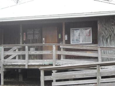
Facilities
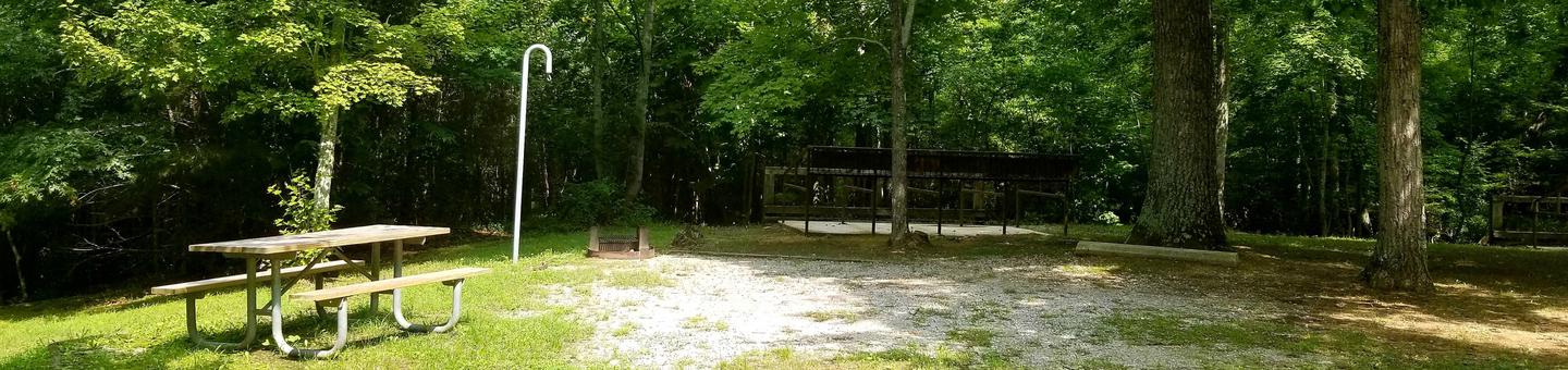
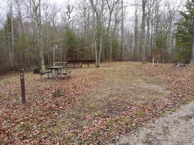
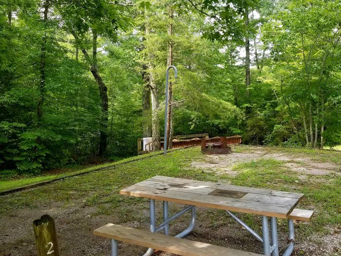
Bear Creek combines the experience of traditional woods camping with the modern conveniences of flush toilets, hot showers and electric hookups. Sites can accommodate both RV and tent camping. Tie-stalls are available on each site.
Natural Features
Big South Fork is located in north-central Tennessee and southeastern Kentucky in some of the most rugged terrain of the Cumberland Plateau. The park encompasses approximately 125,000 acres including rocky gorges and forested plateaus.
Nearby Attractions
Just a few miles from the campground is Blue Heron Mine, also known as Mine 18, a historic abandoned mining town that has been rebuilt as an outdoor museum. Visitors can hear audio presentations from actual people who lived in the community in the 1950s.