


Directions
From Detroit, Oregon, travel east on State Highway 22 for 2.7 miles to Blowout Road/Forest Service Road 10. From Idanha, Oregon, travel west on State Highway 22 for 0.7 miles to Blowout Road/Forest Service Road 10. Proceed on Blowout Road 4.7 miles to Southshore Campground on the right.
Phone
801-226-3564
Activities
BIKING, BOATING, FISHING, SWIMMING
Keywords
South Shore,Detroit Lake
Related Link(s)
Overview
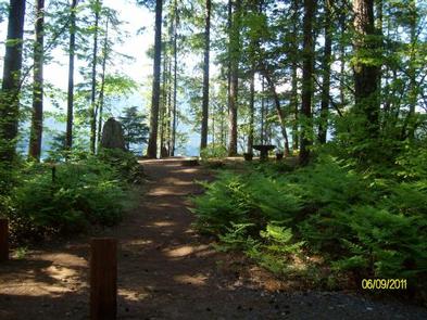
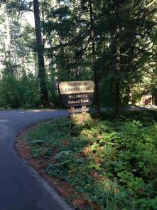
At an elevation of 1,604 ft., Southshore Campground is located on the south shore of Detroit Lake, a little west and south of Piety Knob Island. Campsites are surrounded by towering trees, creating a secluded atmosphere. Visitors enjoy exploring the area and discovering osprey hovering above or nesting in the trees. The campground lies in the Willamette National Forest, which stretches along the Cascade Range.
Recreation
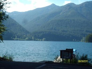
Detroit Lake is a popular destination for boating, jet skiing, swimming and fishing. Rainbow trout, Kokanee salmon and catfish are found in the lake. A boat ramp and dock are located next to the campground.
Facilities
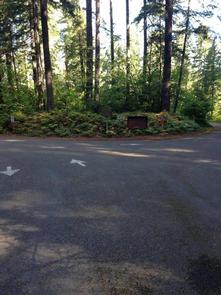
The campground offers 25 single and five double family campsites. There are vault toilets and drinking water onsite. Coin operated showers are available a mile away at Cove Creek.
In the day use area, there is about 1,000 ft. of shoreline. There is a dock for launching, loading and unloading only. There is no mooring allowed.
Natural Features
A mix of wooded and open sites are available, located a little further away from the busier portions of Detroit Lake. You’ll find quiet camping on all but the busiest weekends. Detroit Lake covers 3,500 acres and is surrounded by groves of Douglas fir.
Nearby Attractions
Additional hiking trails can be found across the lake, including those that lead to Dome Rock and Needle Rock. The town of Detroit is across the lake with hometown activities. The Cascading Rivers Bikeway is available for cyclists of all ages.