
Directions
From Vernal, take U.S. 191 north for 51 miles. Three miles north of Dutch John on U.S. 191, turn west onto Forest Road 184 and travel approximately 2 miles to the campground.
From Manila, Utah, take Highway 44 for 28 miles. Turn left on U.S. 191 and go north for about 13 miles, passing through Dutch John. Three miles north of Dutch John on U.S. 191, turn west onto Forest Road 184 and travel approximately 2 miles to the campground.
From Rock Springs, Wyoming, take I-80 west toward Green River about 6 miles to the junction with U.S. 191/Flaming Gorge Road. Take U.S. 191 south for about 59 miles toward Dutch John. Three miles north of Dutch John on U.S. 191, turn west onto Forest Road 184 and travel approximately 2 miles to the campground.
Phone
435-889-3000
Activities
BOATING, CAMPING, FISHING, DAY USE AREA, SWIMMING SITE
Keywords
MUS1,FLAMING GORGE,ASHLEY NF – FS,Flaming Gorge National Recreation Area
Related Link(s)
Overview
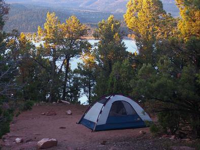
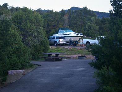
Mustang Ridge Campground is located on a high desert bluff above beautiful Flaming Gorge Reservoir at an elevation of 6,300 feet. The reservoir can be accessed within a half-mile of the campground. Recreational activities abound, including boating, water skiing and fishing.
Recreation
A boat ramp is adjacent to the campground, offering great access to boating, water skiing and fishing on the reservoir. Sunny Cove Day Use Area is within a half-mile, offering a quieter place for swimming, fishing, canoeing, kayaking, hiking and rock climbing.
Facilities
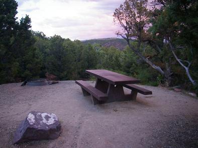
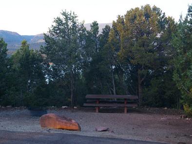
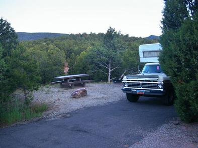
This large campground offers several family campsites, two of which are accessible, and one group site that can accommodate up to 40 people. Sites are equipped with picnic tables and campfire rings.
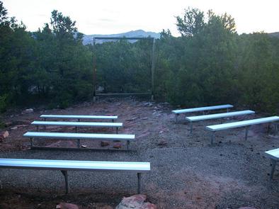
Flush and vault toilets, drinking water and showers are provided. An amphitheater with bleacher seating and a screen support is located on the outer loop. Firewood is available for purchase from the host. Roads and parking spurs are paved.
Natural Features
The campground is situated among a dense pinyon pine and juniper forest dotted with sagebrush. The vegetation provides privacy between campsites but only partial shade. The outer loop campsites are on the edge of the ridge and offer expansive views of the reservoir.
Nearby Attractions
Flaming Gorge Dam offers guided tours of the working hydroelectric plant and the dam, and the adjacent visitor center contains area history exhibits.
The Green River below the dam provides spectacular rafting opportunities. A trip down the river offers unique geology, outlaw history and Native American rock art.