KIT PRICE, ID Campground Reservation, Info, Images, Map, Directions

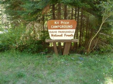
KIT PRICE, Idaho Campground Images, Info & Reservations

Directions

From Coeur d’Alene, drive 28 miles east on Interstate 90, then 26 miles north (Kingston exit) on paved Forest Road #9, then 11 miles north from Prichard on paved Forest Road 208.

Phone

435-245-6521

Activities

CAMPING, FISHING, HIKING, SWIMMING SITE

Keywords

KITP,IDAHO PANHANDLE NF – FS

Related Link(s)

Rec Area Info & Images

Idaho State Tourism

Forest Service Concessionaire

Idaho State Road Conditions

Overview

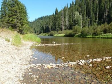
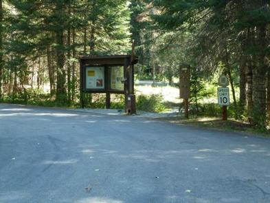
Kit Price is a beautiful campground overlooking the North Fork Coeur d’Alene River. Campers enjoy the benefits of the river by fishing along the banks, swimming and floating. Hiking is also a great way to see mountain views.

Recreation

Tubing, swimming and kayaking on the North Fork Coeur d’Alene River are popular summertime activities. Rafters like to head downstream for the class I-III rapids. Catch and release fishing for cutthroat trout is also popular.

Facilities

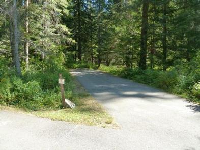
Amenities include picnic tables, grills, paved parking spurs, accessible vault toilets and drinking water. Kit Price does not have electric hookups.

Natural Features

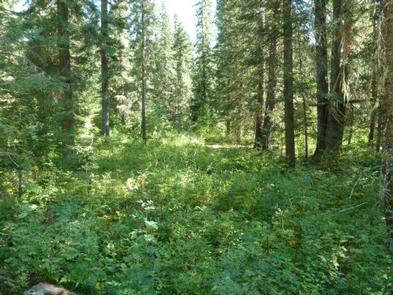
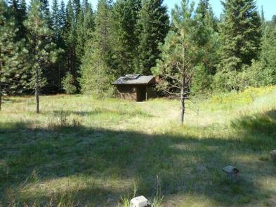
The campground is situated along the North Fork Coeur d’Alene River at an elevation of 2,550 feet. Campsites are in a meadow like setting, in full to partial sun, in the river bottom of the Coeur d’Alene Mountains. Popular Coeur d’Alene Lake is about 65 miles west of Kit Price. Wildlife in the region includes mule deer, moose, osprey and calliope hummingbirds.

Reservation

More from CampingHiking.net:

TETON CANYON, Wyoming Campground Images, Info & Reservations

Directions From Driggs, Idaho, travel 9 miles east. Turn east at the Key Bank on Little Avenue and follow the road to the forest boundary. Turn right on Forest Road 009 and continue 4 miles to the campground. Phone 208-270-0150 OR 541-351-1182 Activities CAMPING, FISHING, HIKING, WILDLIFE VIEWING Keywords TETO,CARIBOU-TARGHEE

SQUAW PEAK LOOKOUT, Oregon Campground Images, Info & Reservations

Directions Starting in Jacksonville, drive on Highway 238 west 8 miles to the town of Ruch. Turn left on Upper Applegate Road and proceed 10.2 miles to Forest Road 20, (Beaver Creek Road). Turn left and go 4.1 miles to the junction of Forest Road 20 and Forest Road 2010

RIBBONWOOD EQUESTRIAN CG, California Campground Images, Info & Reservations

Directions From Palm Desert, California, take the Palms to Pines Highway/Highway 74 south for approximately 16 miles to the community of Pinyon. Turn left onto South Pinyon Drive and the entrance to the campground is on the right. Phone (760) 862-9984 Activities CAMPING, FISHING, HORSEBACK RIDING, HORSE CAMPING, MOUNTAIN BIKING

THIRD CREEK GROUP SITE, Idaho Campground Images, Info & Reservations

Directions From Malad, travel 3.5 miles north on I-15 to exit 17. Turn east onto Weston Highway and continue for 7 miles to Upper Deep Creek Reservoir. Turn left on Forest Road 231. Go one mile to Third Creek Group Site Campground. Phone 208-236-7500 Activities BIKING, CAMPING, HIKING, HORSEBACK RIDING,