Activities
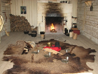
BIKING, CAMPING, INTERPRETIVE PROGRAMS, FISHING, HIKING, HORSEBACK RIDING, HUNTING, OFF HIGHWAY VEHICLE, PICNICKING, WINTER SPORTS, RECREATIONAL VEHICLES, VISITOR CENTER, WILDLIFE VIEWING, FIRE LOOKOUTS/CABINS OVERNIGHT
Camping Reservations
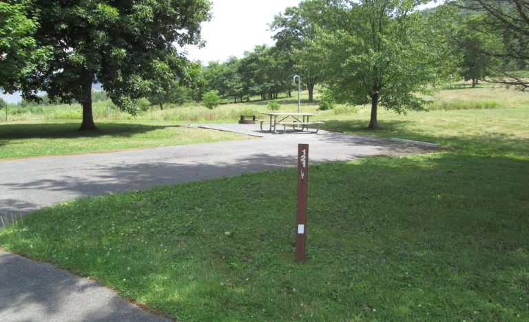
Reserve your campsite at these camping areas:
JOES VALLEY PAVILION GROUP SITE A
MILLER FLAT RESERVOIR CAMPGROUND
Hiking Trails
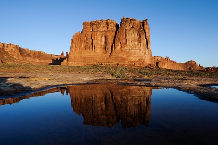
Looking for nice hiking areas to take a hike? Choose from these scenic hiking trails:
Huntington Canyon Recreation Area
Dark Canyon Wilderness Recreation Area
Related Link(s)
More Colorado Recreation Areas
Do you love the outdoors? You can find something fun to do on The Manti-La Sal National Forest.
To find all the sites where you can enjoy your favorite activity, click on the list of activities on the left.
To find information about a specific site:
- Find the recreation area you want to visit on the colored maps at right.
- Click on the plus sign next to Areas & Activities Find an Area link.
- Click on the plus sign next to the area you wish to visit to open a list of recreation sites available in that area.
- Click on the link itself to open the information page on each recreation area or site.
- The Miller Flat/Joes Valley/ Huntington Canyon Recreation area is further divided into the Huntington Canyon Recreation Area and Joes Valley Recreation Area. Click on the plus sign next to them to see a list of sites in those areas.


