Activities
BIKING, BOATING, CLIMBING, CAMPING, INTERPRETIVE PROGRAMS, FISHING, HORSEBACK RIDING, WINTER SPORTS, RECREATIONAL VEHICLES, VISITOR CENTER, SWIMMING
Camping Reservations
Reserve your campsite at these camping areas:
SILVER LAKE CAMPGROUND JUNE LAKE (CA
Hiking Trails
Looking for nice hiking areas to take a hike? Choose from these scenic hiking trails:
Ancient Bristlecone Pine Forest Visitor Center
Minaret Vista Observation Site
Ancient Bristlecone Pine Forest
Related Link(s)
More California Recreation Areas
Summer
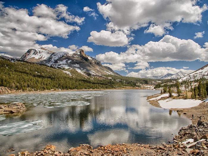
 In summer, anglers can try their luck at countless lakes and streams. Mammoth Mountain becomes a mecca for mountain biking. Over 1,200 miles of wilderness trails for hiking and equestrian adventures. OHV enthusiasts have access to over 2,200 miles of routes.
Plan Ahead: Campground Information
Hiker Shuttle Services
Backroad Tours in the Eastern Sierra:Inyo County
Winter
 The fun doesn™t stop when winter arrives. The forest is home to one of the largest ski resorts in the country. For Nordic skiers, snowshoers and snowmobilers, there are over 100 miles of groomed trails. To really get away from it all, there are miles of ungroomed routes, and thousands of acres of backcountry to explore.
Plan Ahead: Eastern Sierra Winter Recreation Map
Eastern Sierra Avalanche Center


